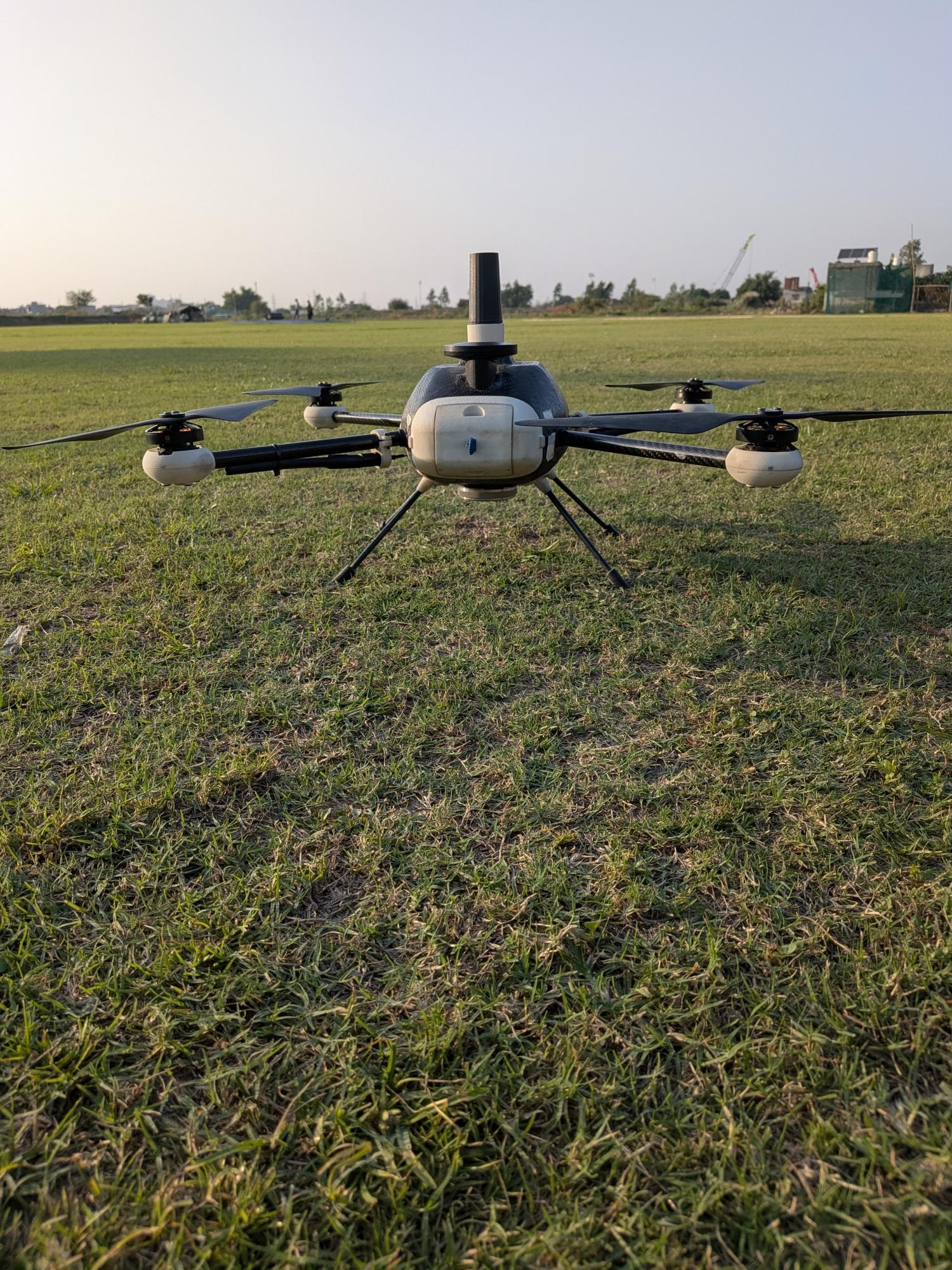
 DGCA Type Certified
Survey & mapping
Vedansh
DGCA Type Certified drone for precision aerial surveying and high-accuracy mapping.
- Endurance
- 40min
- GSD at 100 m
- 2.5cm/px
- Camera
- 24MP
Products
Vedansh for DGCA-certified survey and mapping. Shaurya for tactical surveillance, defence and security missions.
DGCA Type CertifiedSurvey & mapping
DGCA Type Certified drone for precision aerial surveying and high-accuracy mapping.
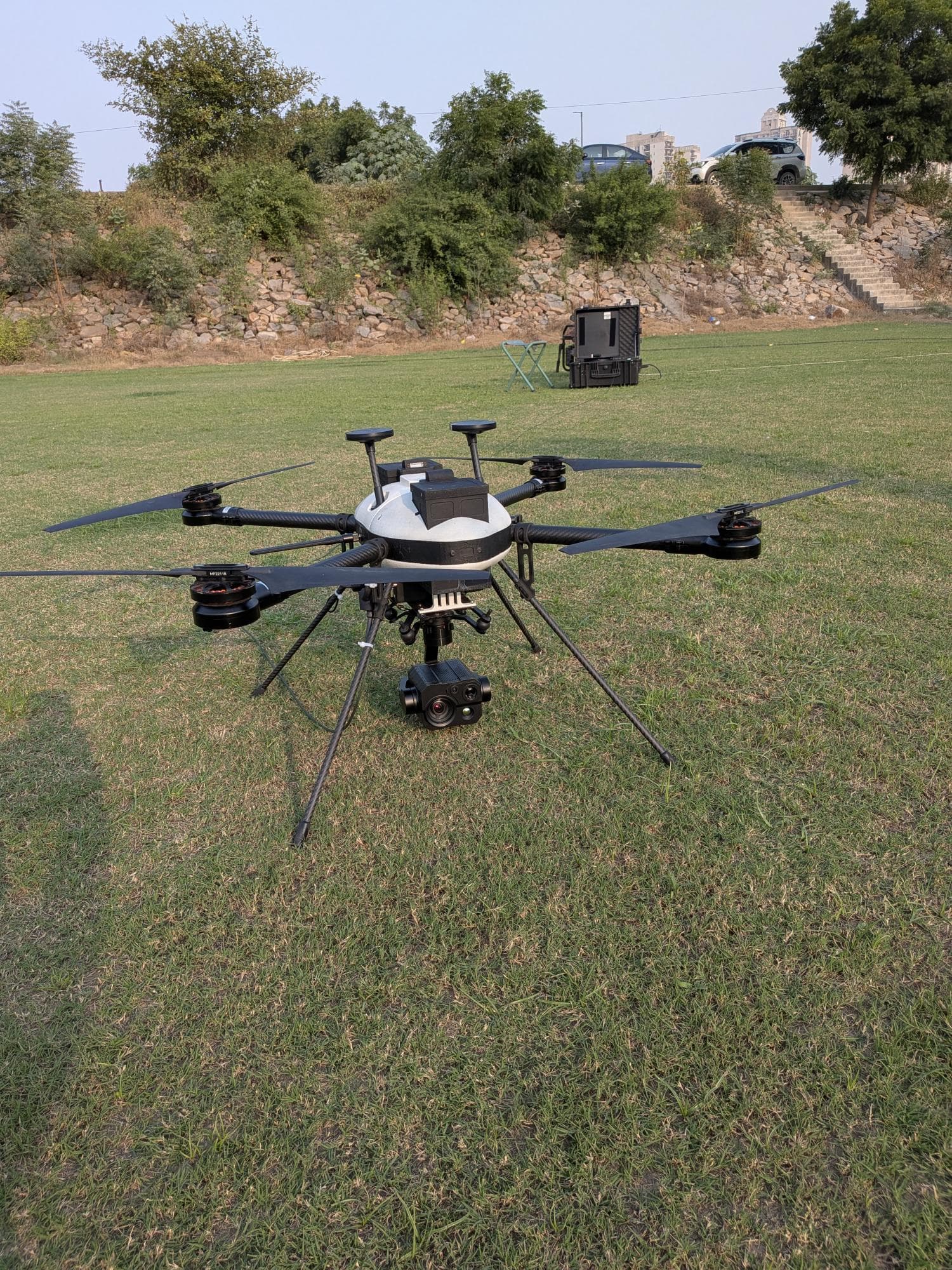 Tactical surveillance
Defence & security
Rugged, long-endurance tactical drone for surveillance, LiDAR survey and payload delivery.
| Specification | Vedansh | Shaurya |
|---|---|---|
| Best for | Land, agriculture, construction, mining and infrastructure surveys | Surveillance, defence and security missions; LiDAR and multispectral survey |
| Flight time | 40 min | 45 min |
| Range | 1 km | 15 km |
| Maximum payload | 500 g | 2 kg |
| Maximum speed | 8 m/s | 12 m/s |
| Wind resistance | — | 15 m/s |
| Camera and payloads | 24 MP Sony CMOS RGB camera, 2.5 cm/px GSD at 100 m | LiDAR, multispectral camera, payload drop |
| Positioning | PPK GNSS | Dual GPS |
| Safety and redundancy | Dual battery, geo-fencing, return to home, flight termination system | Dual battery, obstacle avoidance, ruggedised frame |
| Certification | DGCA Type Certificate T0324000001J | — |
Tell us about the area, mission and payloads you have in mind and we'll recommend a drone and send a quote.