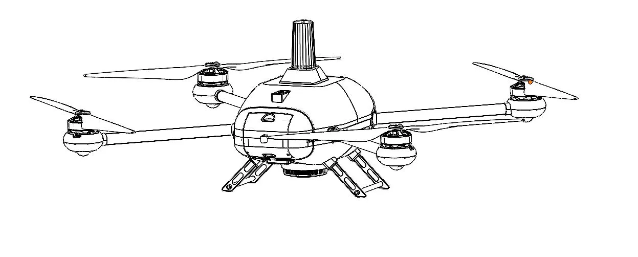
Built for Performance
Key Features
Advanced technology designed for reliability, precision, and mission success.
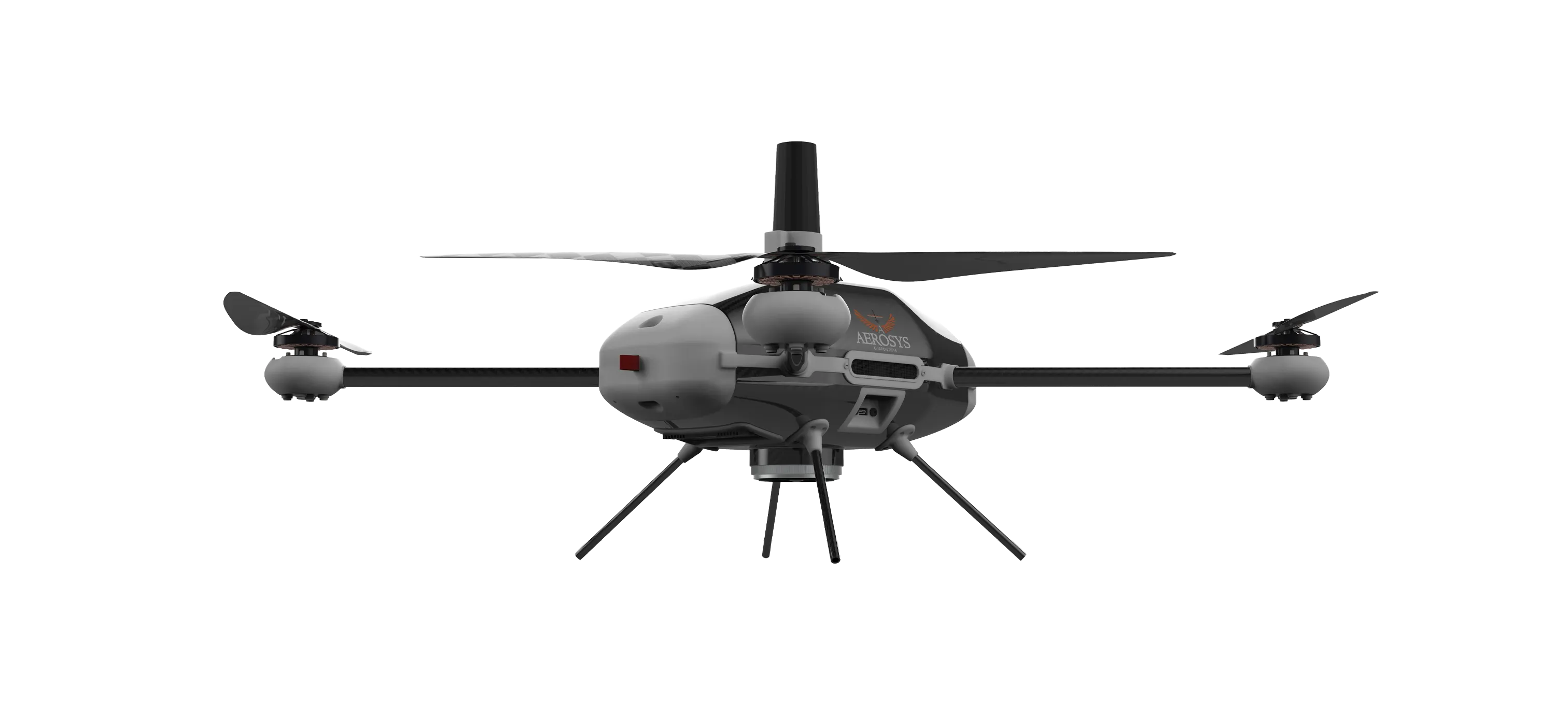
PPK equipped
Delivers enhanced navigational reliability, superior positional accuracy, and robust anti-jamming capabilities through the use of two independent global positioning modules.
Dual Battery System
Provides redundant power security and extended operational endurance by seamlessly switching or load-sharing between two independent power sources.
24 MP RGB Sensor
Utilizes onboard sensors and advanced algorithms to autonomously detect and navigate around hazards, ensuring mission safety and success in complex airspace.
DGCA Approved
Features a high-strength, lightweight exoskeleton designed to withstand harsh environments and absorb impact forces, ensuring maximum survivability and component protection.
Performance
Technical Specifications
Industry-leading performance metrics for professional surveying and mapping operations.
Flight Time
Extended endurance with dual battery system
Max Range
Reliable communication range
Max Speed
High-speed survey capability
Wind Resistance
Stable flight in challenging conditions
Max Payload
Support for various sensor payloads
GSD at 100m
High-resolution mapping accuracy
Ready to Deploy Vedansh?
Get a personalized demo and see how Vedansh can transform your surveying and mapping operations.