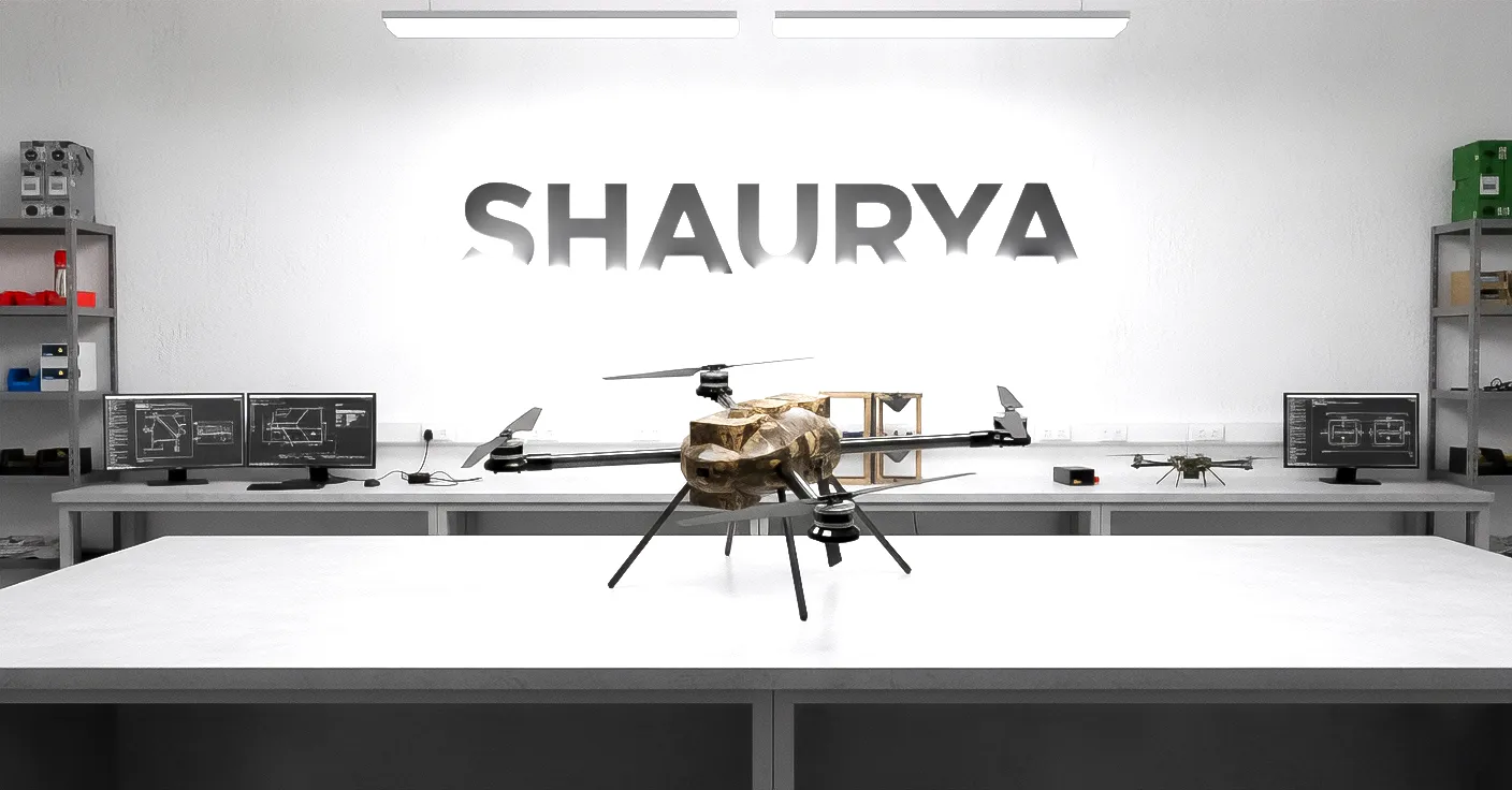
SHAURYA
Professional-grade drone with LiDAR surveying, stockpile measurement, multispectral imaging, and payload delivery capabilities. Built for precision and reliability in demanding environments.
Built for Combat
Key Features
Military-grade technology designed for reliability in the most demanding conditions.
Dual GPS
Delivers enhanced navigational reliability, superior positional accuracy, and robust anti-jamming capabilities through the use of two independent global positioning modules.
Dual Battery System
Provides redundant power security and extended operational endurance by seamlessly switching or load-sharing between two independent power sources.
Obstacle Avoidance System
Utilizes onboard sensors and advanced algorithms to autonomously detect and navigate around hazards, ensuring mission safety and success in complex airspace.
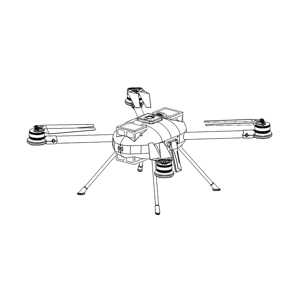
Ruggedised Frame
Features a high-strength, lightweight exoskeleton designed to withstand harsh environments and absorb impact forces, ensuring maximum survivability and component protection.
Modular Payloads
Capabilities
Versatile payload options for diverse mission requirements.
LiDAR Surveying
Performance
Technical Specifications
Superior performance metrics designed for tactical operations and defense missions.
Flight Time
Extended endurance with dual battery system
Max Range
Long-range tactical operations
Max Speed
High-speed pursuit capability
Wind Resistance
All-weather operational stability
Max Payload
Heavy payload capacity for diverse missions
Max Altitude
High-altitude surveillance capability