Vegetation Monitoring Using Multispectral Sensor
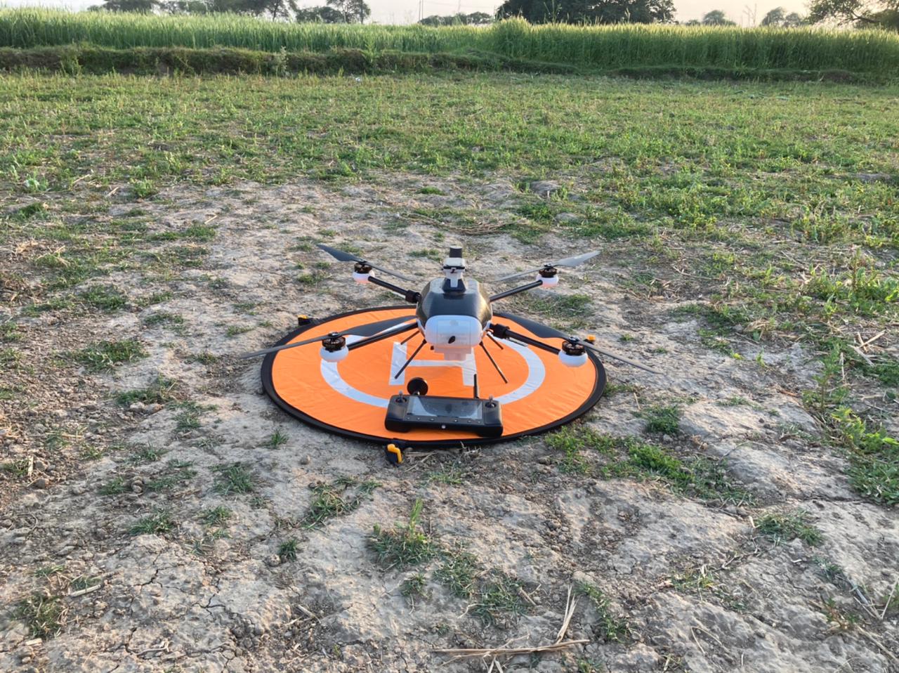
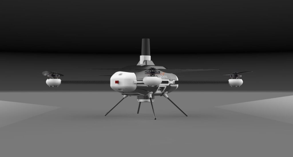
In recent years Multispectral cameras in agriculture have become a popular tool for collecting remotely sensed data. Thus, simply having aerial imagery is not enough for agriculturists who gather much more information about the vegetative health of the projected land. Aerosys’s Multispectral Mapping and Surveying device “Vedansh” switches as a preliminary means of Normalized Difference Vegetation Index (NDVI) analysis with the live RGB feed. This provokes an immediate visualization where quick onboard attention is needed. The ability to capture field view quickly on real-time basis sources and scouting resources to locate areas of concern. These could be only possible with an off-the-shelf drone named ‘Vedansh’ equipped with a standard RGB & Multispectral camera. This captures both visible and invisible images of crops and vegetation to evaluate soil productivity and analyze plant health.

Exploring the agricultural benefits by inducing
Multispectral Drone Data :
-
Vegetation health mapping/crop monitoring
Beyond the naked eyes, multispectral sensors can pick up invisible spectral information that allows farmers to evaluate the real status of vegetation. With the red edge, the band interprets chlorophyll levels in individual plants and compares them over a period of time to manage the environment for the best outcomes. This assists agriculturists to take preventative action at the early stages of a pest infestation, disease onset, or nutrient deficiency.

-
Disease detection
As we all know, the primary sign of related plant disease/stress is apparent through multispectral data analysis. Here red edge band avails the first inklings of change in chlorophyll production. Later this data is analyzed to assess the part of the crop where they might show up. This saves whole yields from huge losses.

Pest detection
In the case of disease detection, pests often leave hallmark traces of activity. They are early spotted by multispectral data through targeted pesticide applications that prevent further spread.
-
Irrigation management
Water is a critical input for agricultural production. In the dry season, Water irrigation management involves the monitoring of water application in fields. An application of multispectral drone data evaluates how plants are responding to the amount of water available to them across a given field.
-
Weed Detection
Weeds are plants too, that have different light reflection patterns than the other crops. Multispectral data can isolate these easily. It’s important to remove weeds as soon as they start growing to retain the nutrients for vegetative crops. Thus, accurate data helps to target the applications where they belong, to safeguard the other crops.
Aerosys’s “Vedansh” offers a reliable solution combining the strengths of multirotor take-offs and landings on a large landscape furnishing highly accurate information. In the end, accurate, reliable, and repeatable multispectral drone data is needed for agriculture, forestry, and environmental applications. Choosing such a drone that aids in the technological revolution of modern agriculture is a need of the hour.
